Blog · All posts · The Neighbourhood
Best Family Neighbourhoods in Port Perry: A Local Guide
2026-10-13 · Neighbourhoods · By Keith Williams & Lisa C. Follows
Key takeaways
- Port Perry is a compact town of 9,553 people (2021 census) where the best family streets cluster into three areas: the heritage core along Queen, Water and Perry streets, the quiet mid-century streets of south Port Perry around Victoria Street, and newer subdivisions such as Cawker's Creek off Old Simcoe Road.
- Walkability is address-specific. Downtown addresses near Water Street score in the high 80s on Walk Score, while outer residential streets are car-dependent, so the exact street matters more than the town name.
- The school run is short and stable: R.H. Cornish (494 Queen St) and S.A. Cawker (16200 Old Simcoe Rd) serve junior kindergarten to Grade 8 and feed Port Perry High (160 Rosa St); Good Shepherd Catholic School (1650 Reach St) is the Catholic option.
- Family recreation is concentrated and close: Palmer Park and Kinsmen Beach at 175 Water St, the 5 km waterfront trail, and the Scugog Community Recreation Centre at 1655 Reach St cover summer and winter.
- Prices vary by area. The township average is a useful starting point, but the comparable set changes street by street, so shortlist your streets before you book showings.
Where do families actually live in Port Perry? The short answer is that the town splits into a few distinct areas: a heritage core along Queen, Water and Perry streets, a ring of quiet mid-century streets in south Port Perry around Victoria Street, and newer subdivisions such as Cawker’s Creek off Old Simcoe Road, each with its own schools, walkability and price point. This guide maps the best family neighbourhoods in Port Perry street by street, so you can shortlist before you book a showing.
We are Keith Williams and Lisa C. Follows, brokers with Willows Realty Group, and we work these streets every week. Port Perry is a compact town, about 9,553 residents in the 2021 census, and the Township of Scugog around it is home to roughly 21,581 people, per the Township of Scugog community profile. That scale is the point: the school run is short, the lake is walkable, and the neighbourhoods feel distinct even though the whole town is only a few minutes across.
What are the best family neighbourhoods in Port Perry?
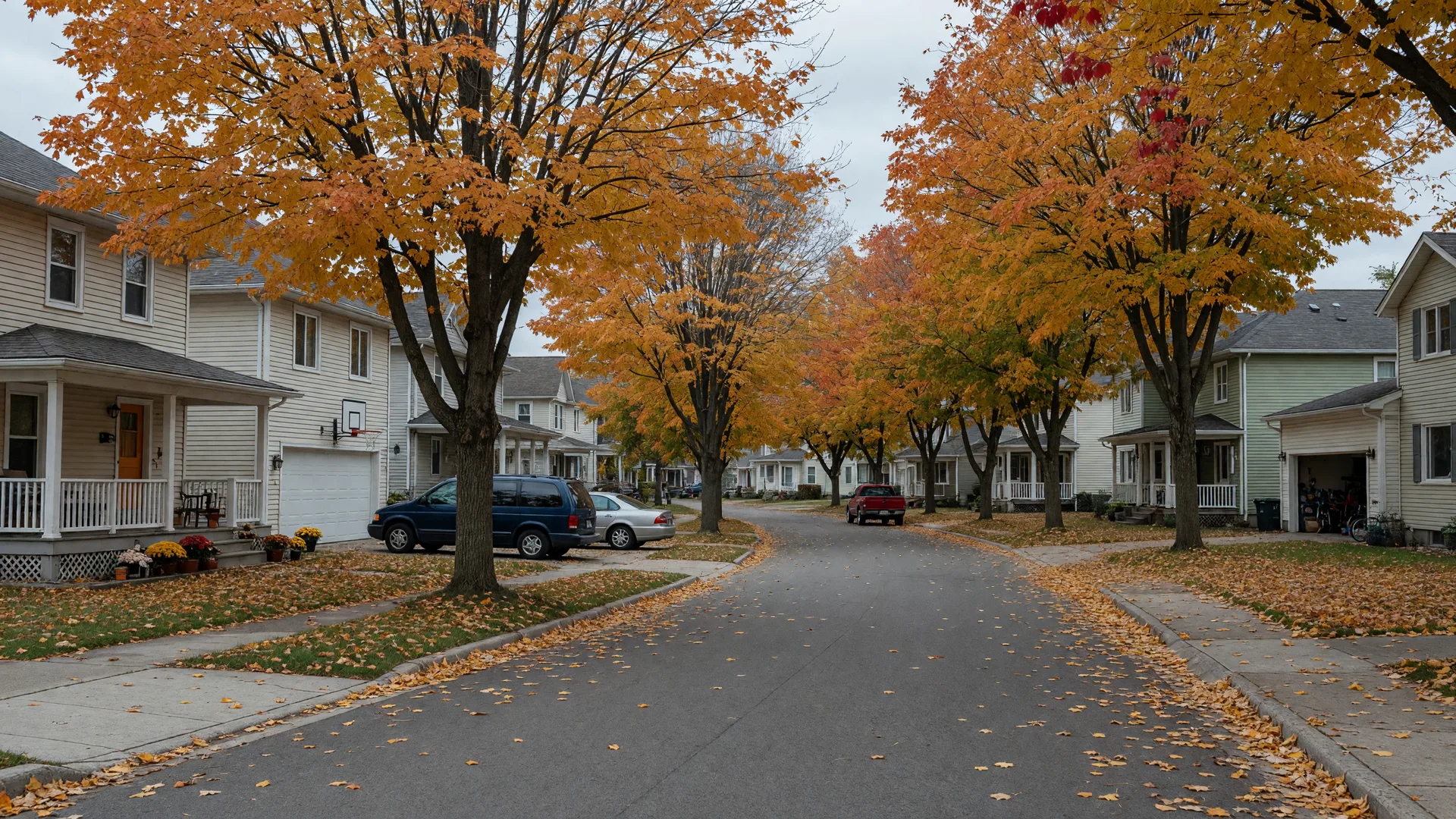
There is no single best street, because families weigh different things. What the town does well is give you genuine choices within a short drive of the same schools, the same lake and the same main street. Three areas come up again and again when local families describe where they live:
- The heritage core, the Victorian streets around Queen, Water and Perry, closest to Palmer Park and the waterfront.
- South Port Perry, the mid-century and newer streets around Victoria, Bigelow and Ash, a short walk or drive from the core.
- The newer subdivisions, especially Cawker’s Creek off Old Simcoe Road, built for families who want a fresh home and a quieter edge.
Each area feeds the same elementary schools in practice, R.H. Cornish and S.A. Cawker, and the same high school, Port Perry High, though catchment boundaries are set by address and can change. Our family guide to Port Perry schools walks through each school and the catchments in detail.
The heritage core: Queen, Water and Perry streets
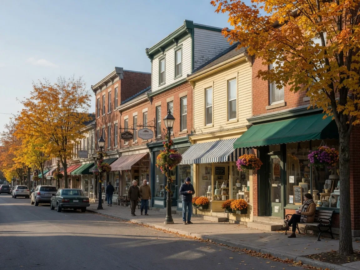
This is the Port Perry postcards come from. The downtown is a designated Heritage Conservation District, a Victorian main street that runs straight to the lake at Palmer Park. The residential streets here are older, tree-lined and walkable, with a mix of heritage homes and well-kept family houses. If the school run on foot, a coffee before work and an evening walk along the water are the priority, this is the area to start.
Walkability is genuinely address-specific. Downtown addresses near the waterfront score in the high 80s on Walk Score, for example 94 Water Street at 89 and 52 Orchard Road at 85, while outer residential roads quickly become car-dependent, with some scoring in the teens. Our guide to how walkable Port Perry is breaks down the walk from the streets around 459 Victoria to Queen Street and the lake.
South Port Perry: Victoria, Bigelow and Ash streets
South Port Perry is where the mid-century bungalow ring and the newer family streets sit, and it is the part of town that turns up most in family searches. Streets like Victoria, Bigelow and Ash offer larger lots, mature trees and a calmer feel while staying a short walk or drive from the core. The area around Victoria Street is also where the township has approved new residential development, with Union Avenue serving a planned subdivision between Josephine Street and King Street, a sign of how much family demand the town is absorbing.
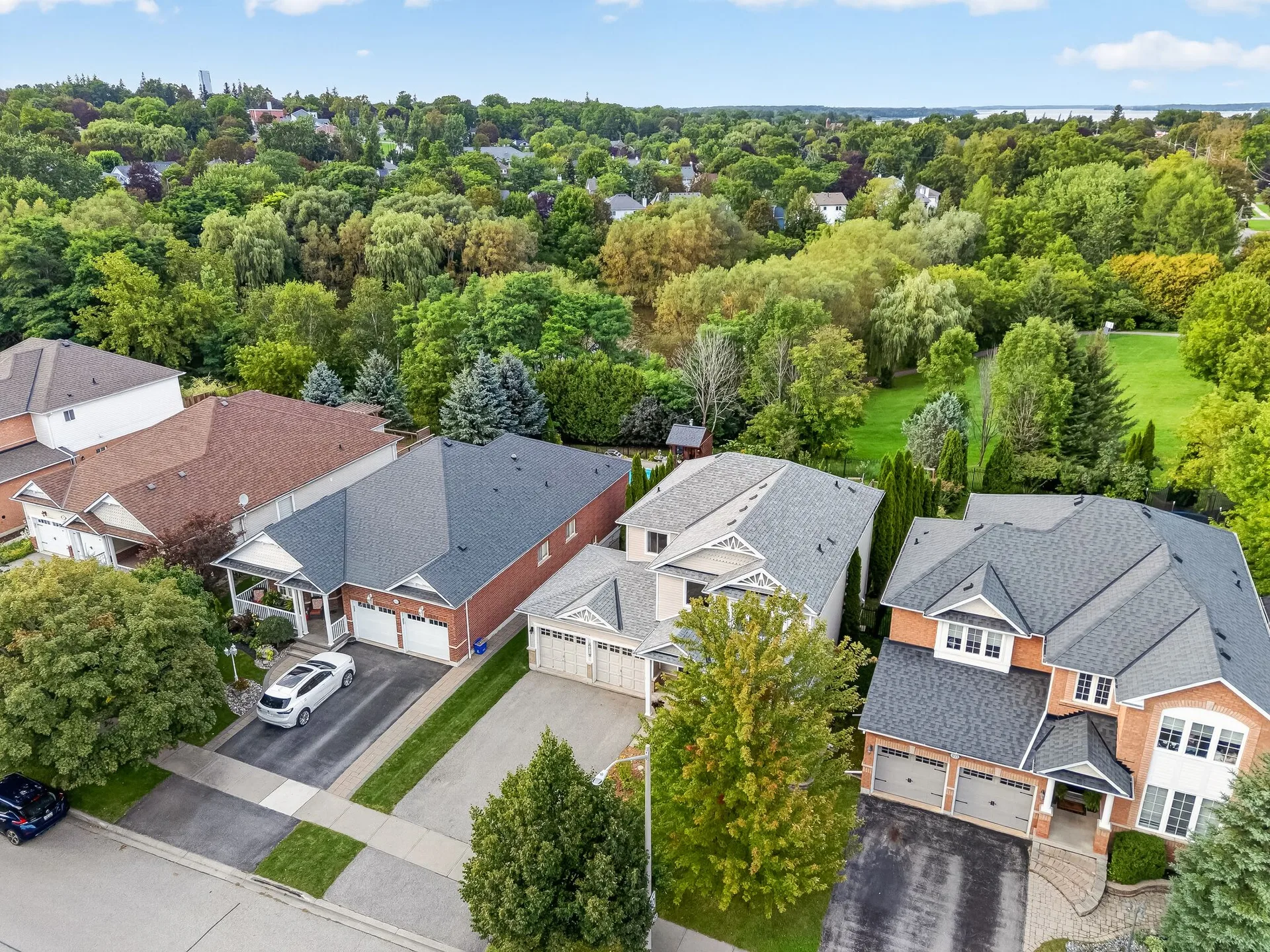
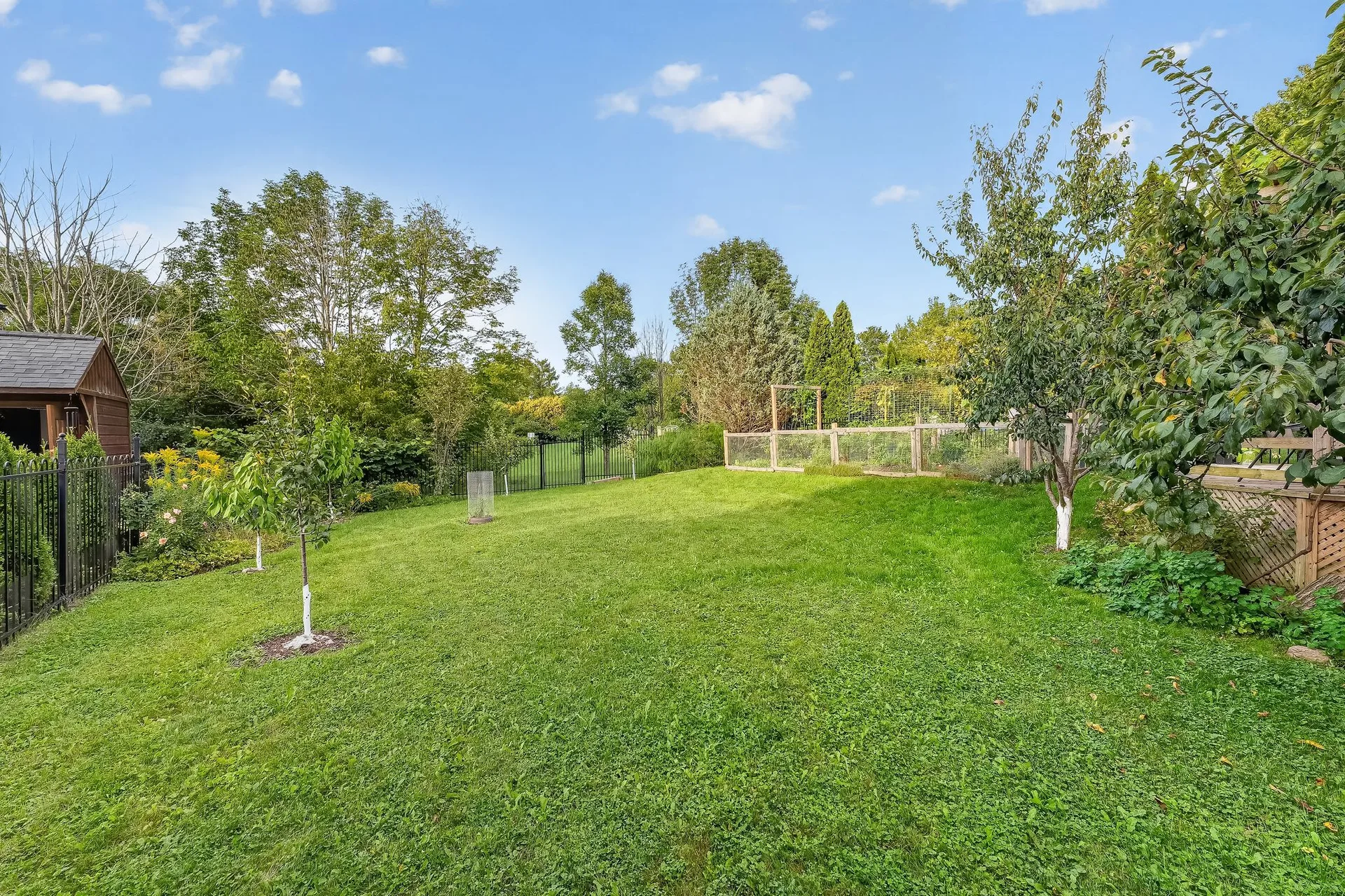
A home here often backs onto green space rather than another house. At 459 Victoria, the fenced yard opens onto mature trees, a walking trail and a pond, the kind of private natural edge that families tell us they remember. The reasons green space behind the fence matters are worth reading in full, and the five years of upgrades at 459 Victoria show what a well-kept family home here looks like.
Cawker’s Creek and the newer subdivisions
For families who want a newer home without leaving town, the subdivisions west of Old Simcoe Road are the main draw. Cawker’s Creek is the best-known, roughly 101 single-detached homes plus about 36 linked dwellings, set close to the hospital and the Scugog Community Recreation Centre. These streets trade the heritage charm of the core for modern layouts, attached garages and a quieter, more uniform feel, and they feed the same local schools.
The township is planning more. A large community of up to about 1,355 units has been proposed on the west side of town at Reach Street, and several developments are approved north of Highway 7A. That pipeline matters if you are buying for the long term, because it shapes what the town looks like in five years. For the wider picture, our Scugog community guide covers the hamlets and lake life around the township.
Which schools serve these neighbourhoods?
The public system runs through the Durham District School Board. R.H. Cornish Public School at 494 Queen Street and S.A. Cawker Public School at 16200 Old Simcoe Road serve elementary grades, junior kindergarten through Grade 8, and both feed Port Perry High School at 160 Rosa Street for Grades 9 to 12. In the Catholic system, Good Shepherd Catholic School at 1650 Reach Street serves junior kindergarten through Grade 8.
Catchment boundaries, not distance, decide your school, and they can change, so confirm your exact address with the board before you commit. From the streets around 459 Victoria, all four schools are close at hand, which makes the morning run the easy part of the day. Our full family guide to Port Perry schools has the details on each school.
Parks, trails and recreation for families
The town’s recreation is concentrated and genuinely good. Palmer Park at 175 Water Street is the waterfront heart: a splash pad with spraying frogs, a playground, picnic areas and Kinsmen Beach, a sandy swimming beach on Lake Scugog. The Port Perry Waterfront Trail System runs about 5 km along the shoreline, from Highway 7A up to Scugog Line 8, with limestone, paved and boardwalk sections. For winter, the Scugog Community Recreation Centre at 1655 Reach Street houses the arena and seasonal ice programs. Our guide to the best parks in Port Perry maps the splash pad, playground and beach families actually use.
What does a family home cost in Port Perry?
Port Perry prices sit above the wider Durham Region average, because the lake, the main street and the commute all carry a premium. TRREB’s Scugog community report put Port Perry’s average at $1,151,815 in the first quarter of 2025 across 27 sales, with a median of $1,027,500, per the TRREB Scugog Community Report. For context, Durham Region’s average was $877,963 in September 2025, per TRREB’s Market Watch. Monthly averages move, so compare several months and pull comparables for the exact street.
The honest answer is that the average hides the range. A heritage home on Queen Street, a mid-century bungalow on Ash Street and a newer house in Cawker’s Creek are all “Port Perry,” and they are priced differently. Our 2026 Port Perry market guide keeps the averages in one place, and the fall 2026 Scugog market update tracks the monthly band.
How to shortlist your street
Start with the school run and the walk. Decide whether you want the heritage core within steps of the lake, the larger lots of south Port Perry, or the newer homes of the subdivisions, then check the catchment for your exact address. Drive the street at school drop-off and again on a weekend evening, because traffic and parking look very different at those two moments. Then compare a few recent sales on that street, not the town average, before you book showings.
If you are new to the area, our guide to moving to Port Perry covers the commute, the schools and which streets to look at first, and the first-time buyer guide walks through the numbers of buying here. When you are ready to see the streets in person, the Port Perry neighbourhood guide maps the schools, commutes and local businesses, and we are happy to walk the town with you.
Best family neighbourhoods in Port Perry, asked plainly
What is the best neighbourhood in Port Perry for families?
It depends on what you value most. The heritage core along Queen, Water and Perry streets is the most walkable and closest to Palmer Park and the lake. South Port Perry around Victoria, Bigelow and Ash offers larger lots and a calmer feel. The subdivisions such as Cawker’s Creek off Old Simcoe Road deliver newer homes. All feed the same local schools.
Which schools serve Port Perry neighbourhoods?
R.H. Cornish Public School (494 Queen St) and S.A. Cawker Public School (16200 Old Simcoe Rd) serve elementary grades and feed Port Perry High School (160 Rosa St). Good Shepherd Catholic School (1650 Reach St) is the Catholic option. Catchment boundaries are set by address and can change, so confirm with the board.
Is Port Perry walkable?
The downtown is very walkable, with addresses near Water Street scoring in the high 80s on Walk Score, but most residential streets are car-dependent. From the streets around 459 Victoria, Queen Street and the lake are about a 10 to 20 minute walk.
How much does a family home cost in Port Perry?
TRREB’s Scugog community report put Port Perry’s average at $1,151,815 in the first quarter of 2025 across 27 sales, with a median of $1,027,500. Prices vary widely by street and type, so compare recent sales on the exact street rather than the town average.
What family recreation is close to Port Perry neighbourhoods?
Palmer Park at 175 Water St has a splash pad, playground and Kinsmen Beach on Lake Scugog. The waterfront trail runs about 5 km along the shoreline, and the Scugog Community Recreation Centre at 1655 Reach St has the arena and ice programs for winter.
Written by your local team
Keith Williams & Lisa C. Follows are licensed Brokers and co-founders of Willows Realty Group, and the local experts and curators of this information. They know the streets of Port Perry and Scugog on foot, and they build each week’s guide around the questions real families actually ask. More about the team is on the About page.
More about the teamCall today to talk about your next move!
Call Lisa or Keith at 905-985-9898.